ZCZC MIATWOEP ALL
TTAA00 KNHC DDHHMM
Tropical Weather Outlook
NWS National Hurricane Center Miami FL
500 AM PDT Tue Jul 18 2023
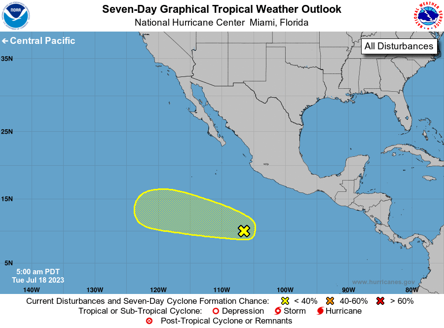
For the eastern North Pacific...east of 140 degrees west longitude:
1. South-Southwest of Southwestern Mexico:
Disorganized showers and thunderstorms located a few hundred miles
south-southwest of the coast of southwestern Mexico are associated
with a tropical wave. Some slow development of this system is
possible during the next few days as it moves west-northwestward at
10 to 15 mph over the central portion of the eastern Pacific basin.
By this weekend, the system is forecast to move over cooler waters,
and further development is not expected.
* Formation chance through 48 hours...low...10 percent.
* Formation chance through 7 days...low...20 percent.
Forecaster Reinhart