ZCZC MIATWOEP ALL
TTAA00 KNHC DDHHMM
Tropical Weather Outlook
NWS National Hurricane Center Miami FL
1100 PM PDT Tue Jul 18 2023
For the eastern North Pacific...east of 140 degrees west longitude:
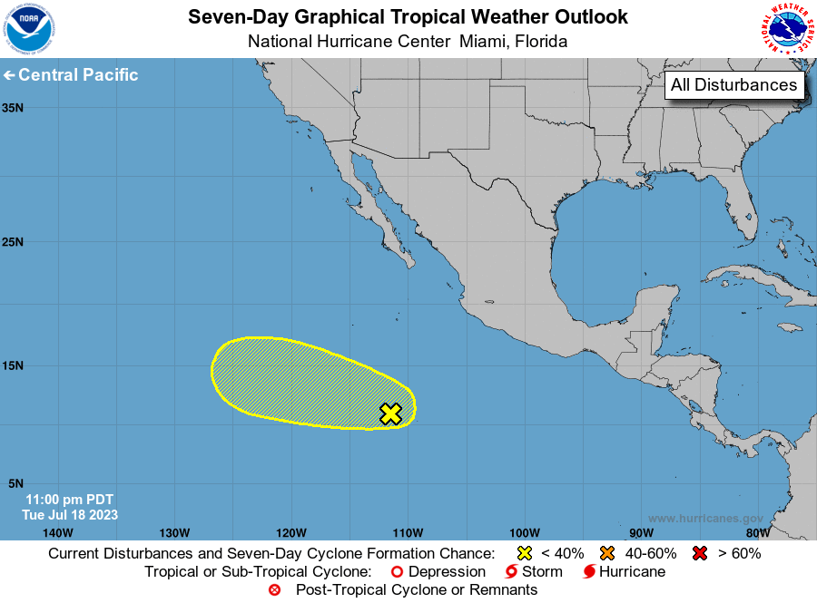
1. South-Southwest of Southwestern Mexico:
Satellite wind data indicates that a broad area of low pressure is
forming in association with a tropical wave located several hundred
miles south of the southern tip of the Baja California peninsula.
However, the associated shower and thunderstorm activity remains
disorganized. Some slow development of this system is possible
during the next few days as it moves west-northwestward at 10 to
15 mph over the central portion of the eastern Pacific basin. By
late Friday, the system is forecast to move over cooler waters, and
further development is not expected.
* Formation chance through 48 hours...low...20 percent.
* Formation chance through 7 days...low...30 percent.
Forecaster Beven