ZCZC MIATWOEP ALL
TTAA00 KNHC DDHHMM
Tropical Weather Outlook
NWS National Hurricane Center Miami FL
1100 AM PDT Wed Jul 19 2023
For the eastern North Pacific...east of 140 degrees west longitude:
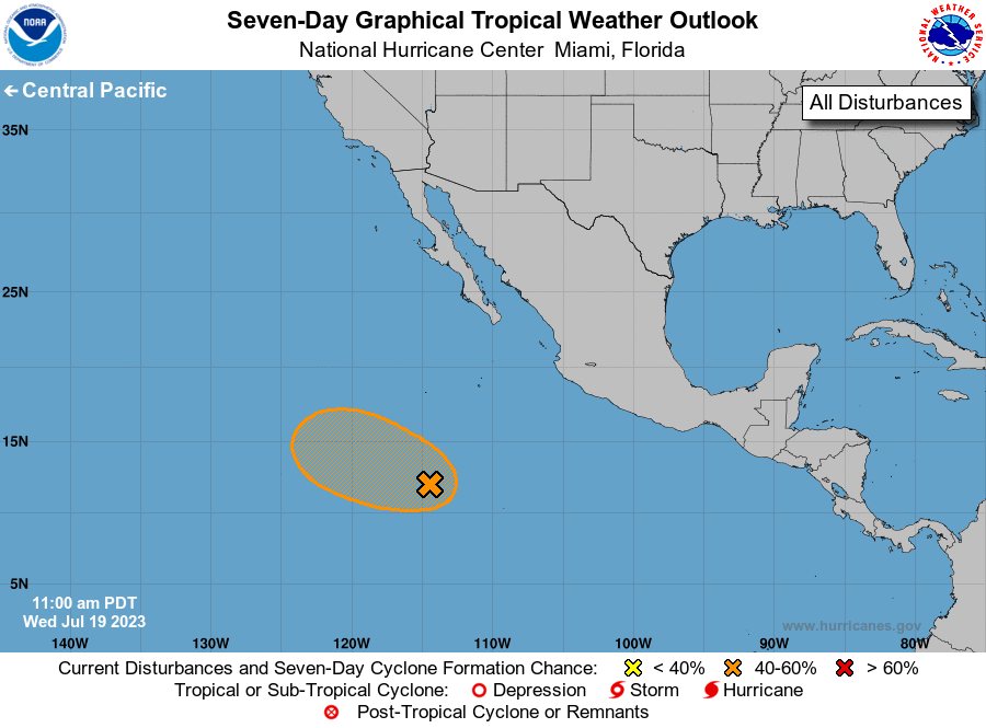
1. Central East Pacific (EP95):
Satellite imagery indicates that an area of low pressure located
several hundred miles south-southwest of the southern tip of the
Baja California peninsula has become better defined. Additionally,
the associated shower and thunderstorm activity continues to show
increased signs of organization. Environmental conditions appear
conducive for further development of this system, and a short-lived
tropical depression could form during the next day or two while it
moves west-northwestward at about 15 mph over the central portion of
the eastern Pacific basin. By Saturday, further development is not
expected as the system moves over cooler waters and encounters
stronger upper-level winds.
* Formation chance through 48 hours...medium...50 percent.
* Formation chance through 7 days...medium...50 percent.
Forecaster Reinhart