ZCZC MIATWOEP ALL
TTAA00 KNHC DDHHMM
Tropical Weather Outlook
NWS National Hurricane Center Miami FL
500 AM PDT Thu Jul 20 2023
For the eastern North Pacific...east of 140 degrees west longitude:
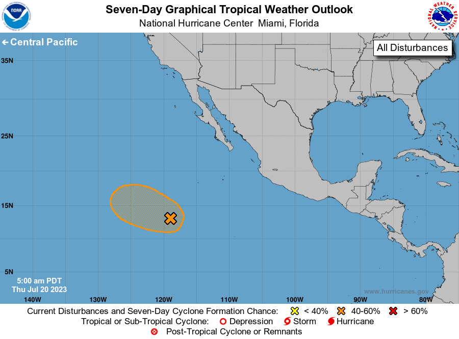
1. Central East Pacific (EP95):
Showers and thunderstorms associated with an area of low pressure
located several hundred miles southwest of the southern tip of the
Baja California peninsula have changed little in organization
overnight. Environmental conditions are marginally conducive for
further development of this system during the next day or so, and a
short-lived tropical depression could form while it moves
west-northwestward at about 15 mph over the central portion of the
eastern Pacific basin. By Saturday, further development is not
expected as the system moves over cooler waters and encounters
stronger upper-level winds.
* Formation chance through 48 hours...medium...60 percent.
* Formation chance through 7 days...medium...60 percent.
Forecaster Hogsett/Brown