ZCZC MIATWOEP ALL
TTAA00 KNHC DDHHMM
Tropical Weather Outlook
NWS National Hurricane Center Miami FL
1100 AM PDT Tue Aug 1 2023
For the eastern North Pacific...east of 140 degrees west longitude:
Active Systems:
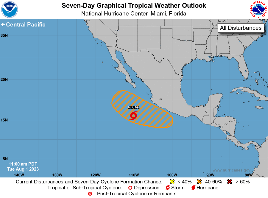
The National Hurricane Center is issuing advisories on Tropical
Storm Dora, located several hundred miles off the southwestern coast
of Mexico.
1. Off the coast of Southwestern Mexico:
An area of low pressure is forecast to form towards the latter part
of this week a few hundred miles south of the coast of southwestern
Mexico. Thereafter, some gradual development of this system is
possible, and a tropical depression could form by early next week
while it moves west-northwestward or northwestward, roughly parallel
to the southwestern coast of Mexico.
* Formation chance through 48 hours...low...near 0 percent.
* Formation chance through 7 days...medium...50 percent.
Public Advisories on Tropical Storm Dora are issued under WMO
header WTPZ35 KNHC and under AWIPS header MIATCPEP5.
Forecast/Advisories on Tropical Storm Dora are issued under
WMO header WTPZ25 KNHC and under AWIPS header MIATCMEP5.
Forecaster Papin