ZCZC MIATWOEP ALL
TTAA00 KNHC DDHHMM
Tropical Weather Outlook
NWS National Hurricane Center Miami FL
500 PM PDT Tue Aug 1 2023
For the eastern North Pacific...east of 140 degrees west longitude:
Active Systems:
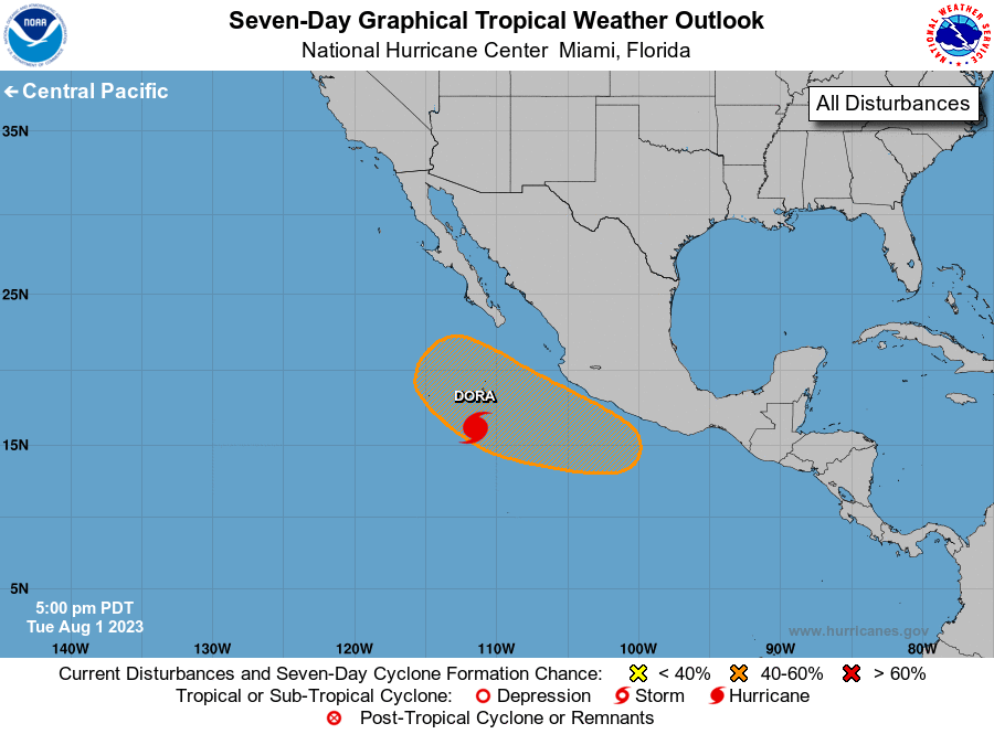
The National Hurricane Center is issuing advisories on Tropical
Storm Dora, located several hundred miles off the southwestern coast
of Mexico.
1. Off the coast of Southwestern Mexico:
An area of low pressure is forecast to form in a day or two a few
hundred miles south of the coast of southwestern Mexico.
Thereafter, gradual development of this system is possible, and
a tropical depression could form over the weekend while it moves
west-northwestward or northwestward, roughly parallel to the
southwestern coast of Mexico.
* Formation chance through 48 hours...low...near 0 percent.
* Formation chance through 7 days...medium...60 percent.
Forecaster Kelly/Blake