ZCZC MIATWOEP ALL
TTAA00 KNHC DDHHMM
Tropical Weather Outlook
NWS National Hurricane Center Miami FL
500 PM PDT Wed Aug 16 2023
For the eastern North Pacific...east of 140 degrees west longitude:
Active Systems:
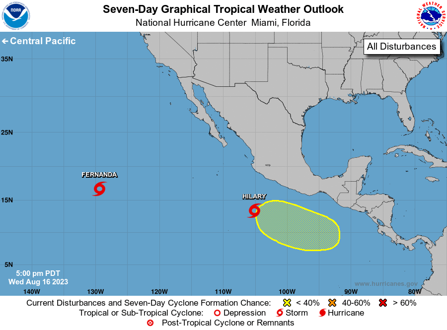
The National Hurricane Center is issuing advisories on Tropical
Storm Fernanda, located well to the west-southwest of the southern
tip of the Baja California peninsula, and on Tropical Storm Hilary,
located a few hundred miles south of Manzanillo, Mexico.
1. South of Southern Mexico:
An area of low pressure could form south of the Gulf of Tehuantepec
over the weekend. Some gradual development of this system is
possible thereafter while it moves generally west-northwestward.
* Formation chance through 48 hours...low...near 0 percent.
* Formation chance through 7 days...low...20 percent.
Public Advisories on Hilary are issued under WMO header WTPZ34 KNHC
and under AWIPS header MIATCPEP4.
Forecast/Advisories on Hilary are issued under WMO header WTPZ24
KNHC and under AWIPS header MIATCMEP4.
Forecaster Roberts