ZCZC MIATWOEP ALL
TTAA00 KNHC DDHHMM
Tropical Weather Outlook
NWS National Hurricane Center Miami FL
500 PM PDT Sat Aug 26 2023
For the eastern North Pacific...east of 140 degrees west longitude:
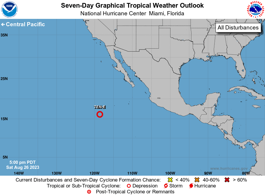
1. Central East Pacific (EP92):
Satellite-derived wind data indicate that the circulation of a low
pressure system located several hundred miles southwest of the
southern tip of the Baja California peninsula has become better
defined. Additionally, the associated shower and thunderstorm
activity continues to show increased signs of organization while the
system moves west-northwestward to northwestward at 10 to 15 mph
over the central portion of the tropical eastern Pacific. If these
trends continue, advisories will be initiated on a tropical
depression or tropical storm tonight. For additional information on
this system, including gale warnings, see High Seas Forecasts issued
by the National Weather Service.
* Formation chance through 48 hours...high...near 100 percent.
* Formation chance through 7 days...high...near 100 percent.
High Seas Forecasts issued by the National Weather Service
can be found under AWIPS header NFDHSFEPI, WMO header FZPN02
KWBC, and on the web at ocean.weather.gov/shtml/NFDHSFEPI.php
Forecaster Reinhart