ZCZC MIATWOEP ALL
TTAA00 KNHC DDHHMM
Tropical Weather Outlook
NWS National Hurricane Center Miami FL
1100 AM PDT Mon Sep 4 2023
For the eastern North Pacific...east of 140 degrees west longitude:
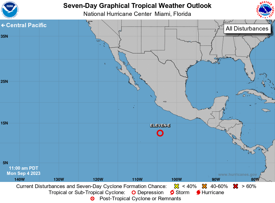
1. Central East Pacific (EP93):
Shower and thunderstorm activity associated with a tropical wave
located a few hundred miles south of the southwestern coast of
Mexico continues to show signs of organization. Although the
low-level circulation of the system appears to be elongated for the
moment, further development is expected and a tropical depression
is very likely to form during the next day or two. The system is
forecast to move westward to west-northwestward at 10 to 15 mph,
passing well south of mainland Mexico.
* Formation chance through 48 hours...high...90 percent.
* Formation chance through 7 days...high...near 100 percent.
Forecaster D. Zelinsky