Skip Navigation Links
NOAA NOAA United States Department of Commerce

NHC Graphical Outlook Archive


« Earliest Available         ‹ Earlier         Later ›         Latest Available »
GIS Shapefiles
Central Pacific Eastern Pacific Atlantic

View 2-Day Graphical Tropical Weather Outlook
Click for Atlantic Click for Atlantic

Tropical Weather Outlook Text

ZCZC MIATWOEP ALL
TTAA00 KNHC DDHHMM

Tropical Weather Outlook
NWS National Hurricane Center Miami FL
1100 PM PDT Wed Sep 27 2023

For the eastern North Pacific...east of 140 degrees west longitude:

1. Southwestern East Pacific:
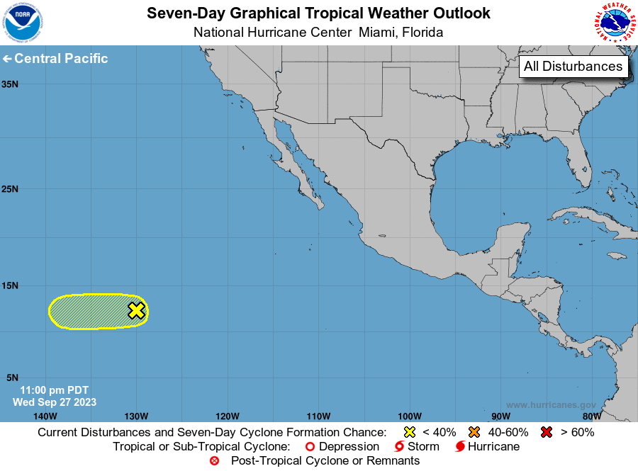
A tropical wave continues to produce an area of disorganized showers 
and thunderstorms well southwest of the southern tip of the Baja 
California peninsula. Some development of this system remains 
possible over the next day or two while it moves generally westward 
at about 15 mph. By late Friday, upper-level winds are forecast to 
become unfavorable for further development before the system moves 
into the Central Pacific basin.
* Formation chance through 48 hours...low...30 percent.
* Formation chance through 7 days...low...30 percent.

Forecaster Bucci


List of Atlantic Outlooks (May 2023 - Present)
List of East Pacific Outlooks (May 2023 - Present)
List of Central Pacific Outlooks (May 2023 - Present)
List of Atlantic Outlooks (July 2014 - April 2023)
List of East Pacific Outlooks (July 2014 - April 2023)
List of Central Pacific Outlooks (June 2019 - April 2023)
List of Atlantic Outlooks (June 2009 - June 2014)
List of East Pacific Outlooks (June 2009 - June 2014)