Skip Navigation Links
NOAA NOAA United States Department of Commerce

NHC Graphical Outlook Archive


« Earliest Available         ‹ Earlier         Later ›         Latest Available »
GIS Shapefiles
Central Pacific Eastern Pacific Atlantic

View 2-Day Graphical Tropical Weather Outlook
Click for Atlantic Click for Atlantic

Tropical Weather Outlook Text

ZCZC MIATWOEP ALL
TTAA00 KNHC DDHHMM

Tropical Weather Outlook
NWS National Hurricane Center Miami FL
1000 AM PST Thu Nov 16 2023

For the eastern North Pacific...east of 140 degrees west longitude:

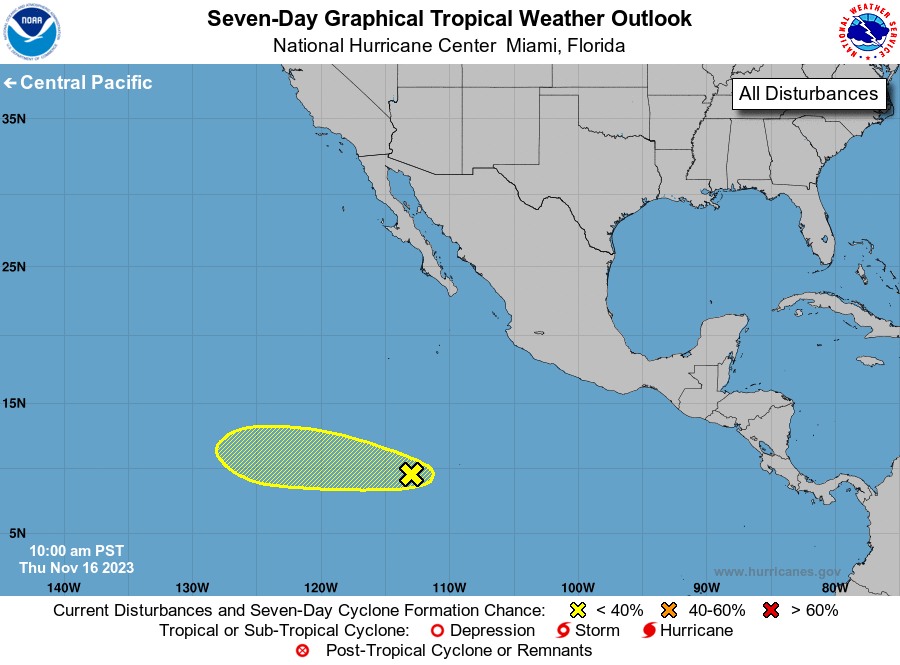
1. Central East Pacific:
A small area of low pressure located about 1000 miles to the 
south-southwest of the southern tip of the Baja California Peninsula 
is producing some disorganized showers and thunderstorms. Some 
additional development of this system is possible over the next few 
days as it moves westward across the central to western portion of 
the East Pacific.
* Formation chance through 48 hours...low...10 percent.
* Formation chance through 7 days...low...20 percent.

Forecaster Papin


List of Atlantic Outlooks (May 2023 - Present)
List of East Pacific Outlooks (May 2023 - Present)
List of Central Pacific Outlooks (May 2023 - Present)
List of Atlantic Outlooks (July 2014 - April 2023)
List of East Pacific Outlooks (July 2014 - April 2023)
List of Central Pacific Outlooks (June 2019 - April 2023)
List of Atlantic Outlooks (June 2009 - June 2014)
List of East Pacific Outlooks (June 2009 - June 2014)