ZCZC MIATWOEP ALL
TTAA00 KNHC DDHHMM
Tropical Weather Outlook
NWS National Hurricane Center Miami FL
400 PM PST Sat Nov 18 2023
For the eastern North Pacific...east of 140 degrees west longitude:
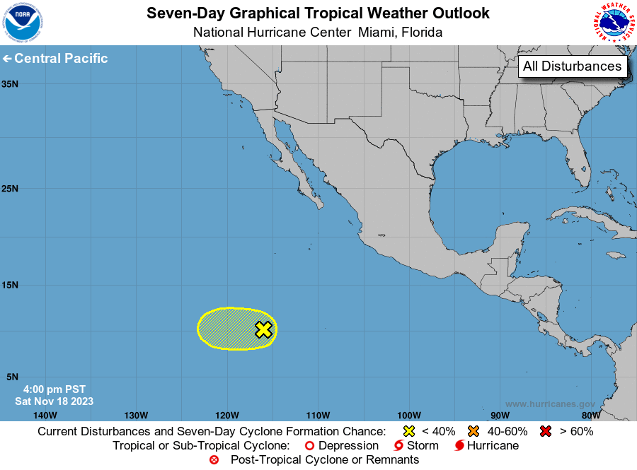
1. Central East Pacific (EP94):
An area of low pressure located about 950 miles south-southwest of
the southern tip of the Baja California peninsula continues to
produce disorganized shower and thunderstorm activity, mainly over
the western portion of the circulation. Significant development of
this system is not likely while it moves slowly westward during the
next few days. Environmental conditions are forecast to become less
conducive for development by the middle of next week.
* Formation chance through 48 hours...low...20 percent.
* Formation chance through 7 days...low...20 percent.
Forecaster Reinhart