ZCZC MIATWOEP ALL
TTAA00 KNHC DDHHMM
Tropical Weather Outlook
NWS National Hurricane Center Miami FL
1000 PM PST Sun Nov 19 2023
For the eastern North Pacific...east of 140 degrees west longitude:
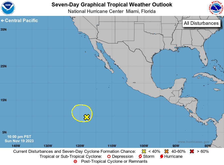
1. Central East Pacific (EP94):
Shower and thunderstorm activity remains disorganized in association
with an area of low pressure located well to the south-southwest of
the southern tip of the Baja California peninsula. Some slow
development of this system is possible during the next couple of
days while it drifts westward or northwestward. By the middle and
latter parts of the week, environmental conditions are forecast to
become less conducive for development.
* Formation chance through 48 hours...low...30 percent.
* Formation chance through 7 days...low...30 percent.
Forecaster Reinhart