ZCZC MIATWOEP ALL
TTAA00 KNHC DDHHMM
Tropical Weather Outlook
NWS National Hurricane Center Miami FL
400 AM PST Wed Nov 22 2023
For the eastern North Pacific...east of 140 degrees west longitude:
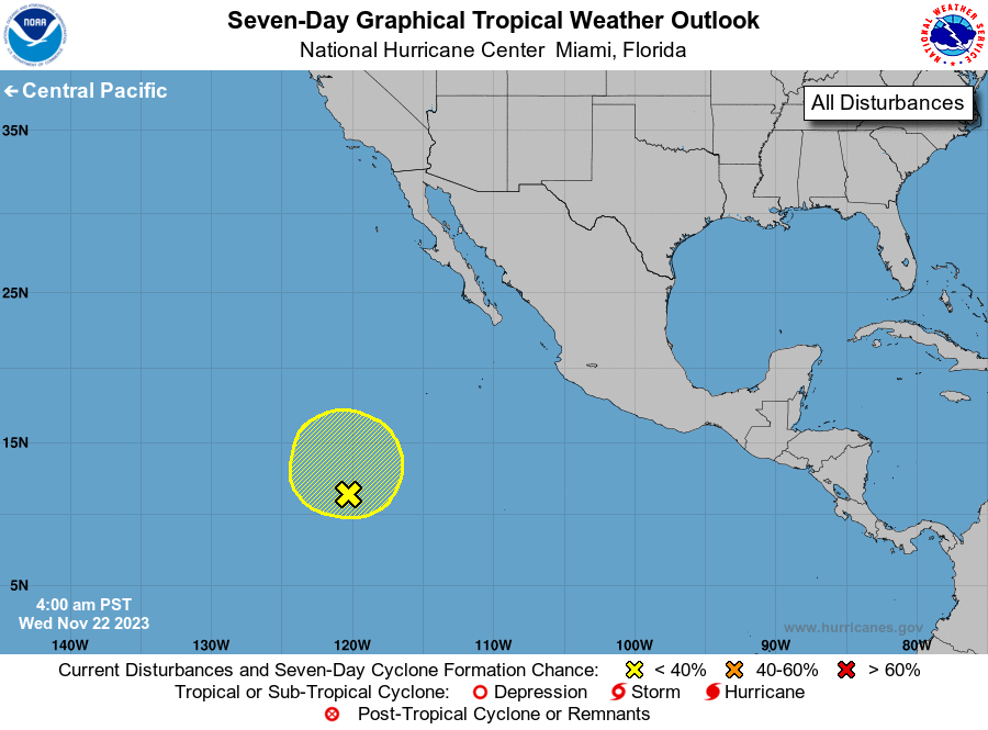
1. Central East Pacific (EP94):
Shower and thunderstorm activity associated with an area of low
pressure located well south-southwest of the southern tip of the
Baja California peninsula has not become better organized since
yesterday. Environmental conditions appear marginally conducive for
some gradual development of this system during the next few days
while it drifts generally northward. Environmental conditions are
forecast to become less conducive for development by this weekend or
early next week.
* Formation chance through 48 hours...low...30 percent.
* Formation chance through 7 days...low...30 percent.
Forecaster Reinhart