000
AXNT20 KNHC 291025
TWDAT
Tropical Weather Discussion
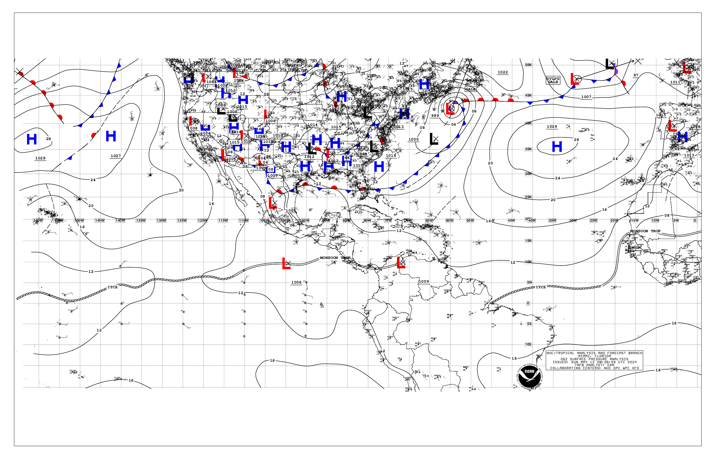
NWS National Hurricane Center Miami FL
1205 UTC Mon Apr 29 2024
Tropical Weather Discussion for North America, Central America
Gulf of Mexico, Caribbean Sea, northern sections of South
America, and Atlantic Ocean to the African coast from the
Equator to 31N. The following information is based on satellite
imagery, weather observations, radar and meteorological analysis.
Based on 0600 UTC surface analysis and satellite imagery through
1015 UTC.
...MONSOON TROUGH/ITCZ...
The monsoon trough reaches the Atlantic through the coast of Sierra
Leone near 08N13W and continues southwestward to 06N16W. The ITCZ
extends from 06N16W to 00N27W to 06N41W to 04N51W. Numerous
moderate to isolated strong convection is observed south of 07N
and between 16W and 39W.
GULF OF MEXICO...
The strong thunderstorms affecting eastern Texas and Louisiana
are also impacting the nearshore waters of the NW Gulf of Mexico.
A subtropical ridge over the western Atlantic extends across the
Gulf waters, supporting moderate to fresh easterly winds and
moderate seas.
For the forecast, the high pressure system will weaken over the
next few days, resulting in diminishing winds and decreasing seas
across the basin. Elsewhere, winds will pulse to fresh to strong
speeds near the Yucatan Peninsula and south-central Gulf each
evening through the forecast period.
CARIBBEAN SEA...
The subtropical ridge north of the Greater Antilles continues to
sustain fresh to strong easterly winds fresh to locally strong
easterly trade winds south of Hispaniola, Windward Passage and
Gulf of Honduras. Seas in these waters are 6-8 ft. Moderate to
locally fresh easterly breezes and 4-6 ft are found in the
remainder of the central and NW Caribbean waters. Elsewhere,
moderate or weaker winds and slight to moderate seas prevail.
Pockets of low-level moisture traveling across the Caribbean are
producing isolated, weak showers.
For the forecast, the aforementioned ridge will gradually weaken
over the next few days. Fresh to locally strong easterly winds in
the Gulf of Honduras, Windward Passage and offshore southern
Hispaniola will diminish midweek. Otherwise, moderate to locally
fresh easterly winds will prevail. Northerly swell will push rough
seas through the passages in the NE Caribbean through the middle
of the week.
ATLANTIC OCEAN...
A cold front extends from 31N43W to 21N59W. A pre-frontal trough
are analyzed from 25N45W to 17N49W. A few showers are found east
of the trough. Fresh to strong southerly winds are found ahead of
the front to 35W and north of 28N. Seas in these waters are 8-9
ft. Fresh to strong westerly winds and seas of 10-13 ft are
present north of 29N and between 51W and 62W. Moderate to fresh
easterly winds are noted south of 26N and west of the front. The
remainder of the SW North Atlantic is under the influence of a
broad subtropical ridge centered between the SE US and Bermuda.
The rest of the central and eastern Atlantic is dominated by a
1029 mb high pressure system located over the Azores. The pressure
gradient between this ridge and lower pressures in western Africa
support fresh to strong NE-E winds north of 12N and east of 35W.
Seas in the area described are 6-9 ft. Elsewhere, moderate or
weaker winds and moderate seas are prevalent.
For the forecast west of 55W, the aforementioned front will shift
eastward and weaken over the far southeastern waters through
early Tue. Fresh to strong W winds will prevail N of 28N and east
of 65W, decreasing Wed. Seas will peak near 14 ft this afternoon.
Also, fresh to locally strong winds will cover the waters S of 22N
and W of 70W through late today, especially at the entrance of
the Windward Passage. More tranquil marine conditions are expected
afterwards as high pressure becomes centered over the NW waters.
$$
Delgado


