394
AXPZ20 KNHC 022030
TWDEP
Tropical Weather Discussion
NWS National Hurricane Center Miami FL
2205 UTC Sun Jun 2 2024
Tropical Weather Discussion for the eastern Pacific Ocean from
03.4S to 30N, east of 120W including the Gulf of California, and
from the Equator to 30N, between 120W and 140W. The following
information is based on satellite imagery, weather observations,
radar, and meteorological analysis.
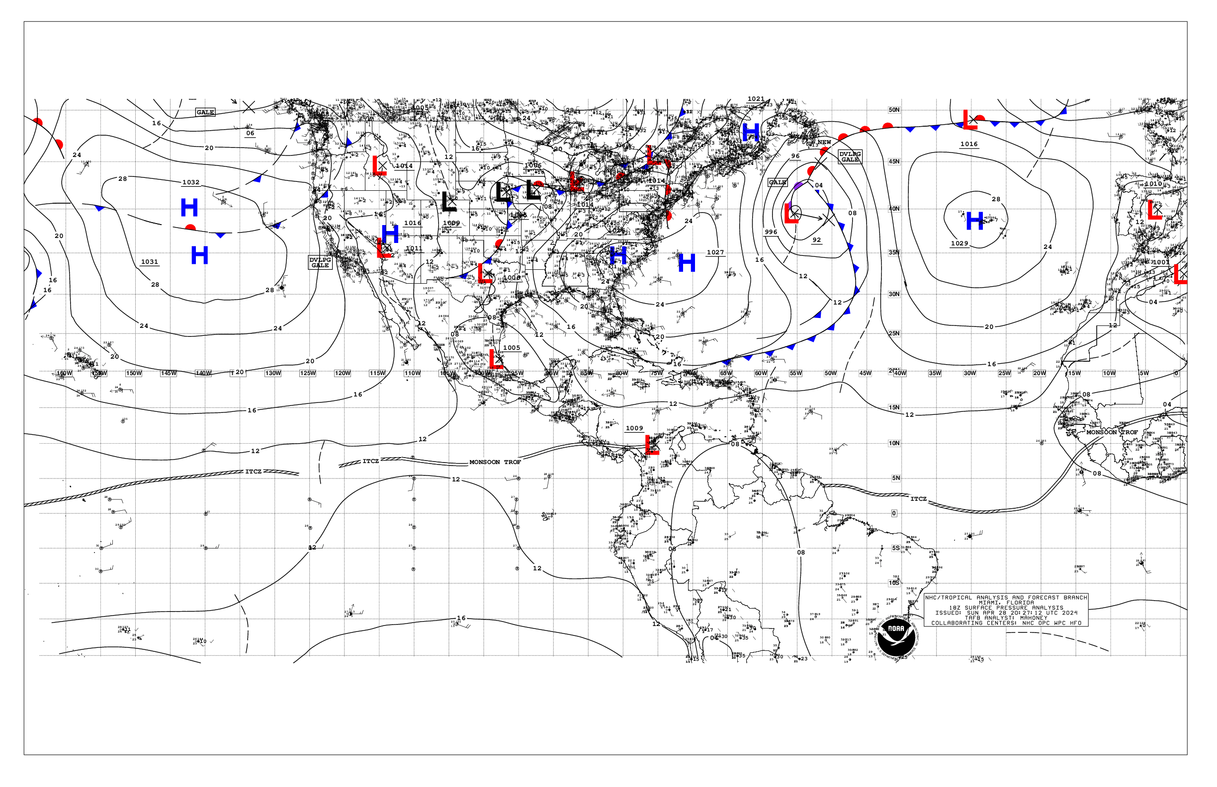
Based on 1800 UTC surface analysis and satellite imagery through
2030 UTC.
...TROPICAL WAVES...
The axis of a tropical wave is near 98W, from 16N southward,
moving westward around 5 to 10 kt. Scattered moderate to isolated
strong convection is from 07N to 15N between 94W and 102W.
Active disorganized convection is expected to continue with this
system into the early part of the week. However, development of
this system appears unlikely.
...INTERTROPICAL CONVERGENCE ZONE/MONSOON TROUGH...
The monsoon trough extends from 10N86W to 12N96W to 09N106W to
09N134W to 08N140W. Scattered moderate isolated strong
convection is noted from 07N to 15N between 94W and 106W, and
from 04N to 11N between 110W and 140W.
...OFFSHORE WATERS WITHIN 250 NM OF MEXICO...
A ridge extends from high pressure centered well northwest of
the region to near the Revillagigedo Islands. The pressure
gradient between the area of high pressure and a trough over the
Gulf of California is supporting moderate northwesterly winds
across the Baja California waters extending southward to near the
Revillagigedo Islands. Light to gentle winds prevail over the
remainder of the discussion waters. Seas are in the 6-9 ft range
in NW swell off Baja California Norte, and 6 ft off Baja
California Sur. Elsewhere over the open waters off Mexico, seas
are in the 5-6 ft range in southwest swell. Seas of 3 ft or less
are over the Gulf of California. Hazy conditions persist off
southern Mexico, including the Gulf of Tehuantepec, due to
agricultural fires over southern Mexico and Central America.
Visibilities may decrease at times to around 5 nm.
For the forecast, moderate to fresh NW to N winds will prevail
off the Baja California waters through the early part of the
upcoming week. Elsewhere, light to gentle winds will prevail
across the open waters. Seas of 7 to 8 ft in NW swell are
expected off of Baja California Norte through Mon. Hazy
conditions, dense at times, may persist off southern Mexico,
including the Gulf of Tehuantepec, due to agricultural fires over
S Mexico and Central America.
...OFFSHORE WATERS WITHIN 250 NM OF CENTRAL AMERICA, COLOMBIA,
AND WITHIN 750 NM OF ECUADOR...
Gentle to moderate NE winds are over the Gulf of Papagayo, with
light to gentle winds elsewhere N of the monsoon trough. Gentle
to moderate winds prevail S of the monsoon trough. Seas are in
the 4-6 ft range in long- period S to SW swell. Hazy conditions
continues off the Central American coast due to agricultural
fires in southern Mexico and Central America. Visibilities may
decrease at times to around 5 nm or less.
For the forecast, light to gentle winds will prevail N of the
monsoon trough. Gentle to moderate winds are expected S of the
monsoon trough for the next several days. Hazy skies from smoke
caused by agricultural fires over Mexico and Central America may
reduce visibilities over portions of the Central American
offshore waters the next few days.
...REMAINDER OF THE AREA...
High pressure prevails over the waters N of 20N. The pressure
gradient between the area of high pressure and lower pressure
within the monsoon trough is supporting fresh to locally strong
NE winds N of the monsoon trough to 22N and W of 120W. Seas with
these winds are in the 8-10 ft range. Gentle to moderate winds
elsewhere N of the monsoon trough. Elsewhere N of the monsoon
trough seas of 6-8 ft in north to northeast swell prevail across
all but the far NW waters, where seas are in the 5-6 ft range.
Gentle to moderate winds and seas of 5-6 ft prevail S of the
monsoon trough.
For the forecast, the fresh to strong NE winds over the western
part of the area are forecast to diminish to mostly fresh speeds
Mon afternoon. Associated seas will slowly subside through late
Mon. Otherwise, little change is expected to the current
conditions over much of the area the next few days.
$$
AL


