000
AXPZ20 KNHC 070755
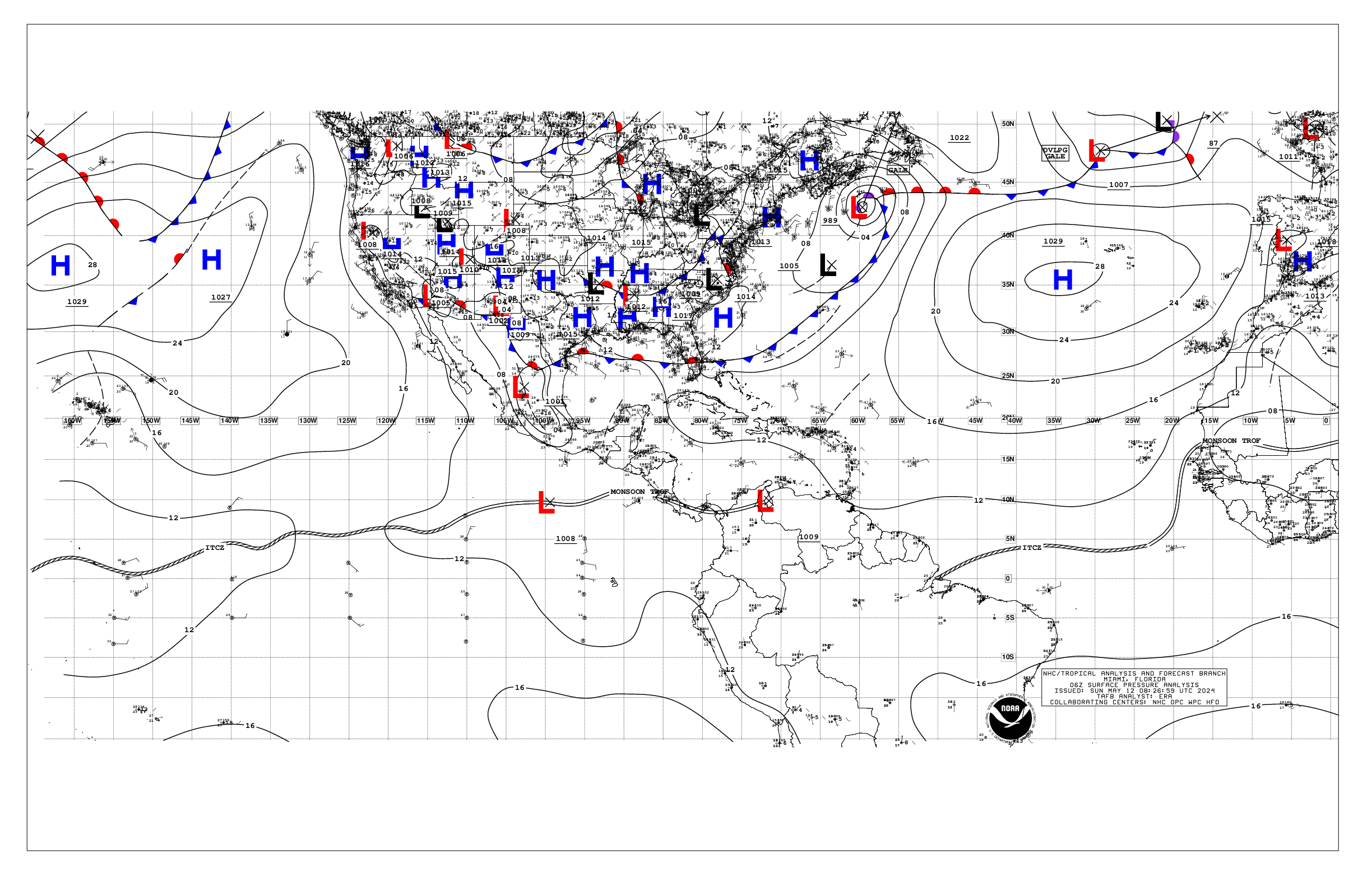
TWDEP
Tropical Weather Discussion
NWS National Hurricane Center Miami FL
1005 UTC Fri Jun 7 2024
Tropical Weather Discussion for the eastern Pacific Ocean from
03.4S to 30N, east of 120W including the Gulf of California, and
from the Equator to 30N, between 120W and 140W. The following
information is based on satellite imagery, weather observations,
radar, and meteorological analysis.
Based on 0600 UTC surface analysis and satellite imagery through
0730 UTC.
...TROPICAL WAVES...
A tropical wave is along 120W from 15N to 02N, moving W at 5 to
10 kt. Scattered moderate convection is noted from 07N to 12N
between 110W and 120W.
...INTERTROPICAL CONVERGENCE ZONE/MONSOON TROUGH...
The monsoon trough extends from 13N86W to 11N127W. The ITCZ
stretches from 11N127W to beyond 07N140W. Scattered moderate to
isolated strong convection is noted from 05N to 15N and east of
108W. Similar convection is noted from 07N to 13N and west of
135W.
...OFFSHORE WATERS WITHIN 250 NM OF MEXICO...
A subtropical ridge centered well west of Baja California
supports mainly moderate NW winds across the Baja California
offshore waters, primarily south of Punta Eugenia. Seas in these
waters are 5-7 ft. North of Punta Eugenia, gentle winds and seas
of 6-8 ft due to NW swell prevail. The highest seas are noted in
the far NW waters. Light to gentle winds and slight seas are
present in the Gulf of California.
Elsewhere in the Mexican offshore waters, including the Gulf of
Tehuantepec, gentle winds and moderate seas prevail. Hazy
conditions persist off southern and SW Mexico, including the Gulf
of Tehuantepec, due to agricultural fires over southern Mexico
and Central America, reducing visibility to around 5 nm at times.
For the forecast, mainly moderate NW-N winds will continue off
Baja California through early next week. The decaying NW swell
will propagate across the offshore waters of Baja California
today, with seas peaking to 10 ft N of Punta Eugenia. Moderate
to fresh winds will push through the mountain gaps and reach the
Gulf of California in the night and morning hours during the next
few days. Hazy conditions caused by smoke from agricultural
fires in Mexico will continue offshore of SW and southern Mexico
for the next couple of days, reducing visibility to near 5 nm at
times.
...OFFSHORE WATERS WITHIN 250 NM OF CENTRAL AMERICA, COLOMBIA,
AND WITHIN 750 NM OF ECUADOR...
The monsoon trough remains located farther north than its usual
climatological position for this time of the year. This results
in moderate SW-W winds in the offshore waters of Central
America. SW swell produces seas of 6-8 ft across the area
described. Mainly gentle winds and moderate seas are evident in
the Gulf of Papagayo and south of the equator.
Hazy conditions persist over the offshore waters of Guatemala and
El Salvador due to smoke from agricultural fires in southern
Mexico and Central America.
For the forecast, abundant moisture in a SW wind flow will
continue across the Central America and Colombia offshore waters
during the next several days. This will continue to enhance the
convection across the region. Light to gentle winds will prevail
north of 10N, while moderate winds are expected south of 10N for
the next few days. Meanwhile, hazy conditions caused by smoke
from agricultural fires over Mexico and Central America may
reduce visibilities mainly over the northern Central American
offshore waters for the next couple of days.
...REMAINDER OF THE AREA...
A 1022 mb high pressure system is centered near 31N137W and
continues to dominate the remainder of the tropical eastern
Pacific. The pressure gradient between this ridge and lower
pressures associated with a surface trough extending from 30N121W
to 24N123W support gentle to moderate winds north of 24N and
west of the trough. Seas in these waters are 8-10 ft due to
northerly swell. The highest seas are near 30N126W.
Farther south, moderate NE winds and seas of 5 to 7 ft are
occurring from the ITCZ to 24N and west of 130W. Moderate to
fresh southerly winds and seas of 6-8 ft are also noted south of
the monsoon trough and east of 115W. Elsewhere, moderate or
weaker winds and moderate seas are prevalent.
For the forecast, high pressure will dominate the area while
weakening slowly over the next couple of days. Large NW swell
will gradually decay as it propagates across the northern waters,
and seas will subside below 8 ft Sat. Moderate to fresh winds
and seas of 8-9 ft will continue across the eastern EPAC and
expand into the central waters near and south of the monsoon
trough into the weekend.
$$
Konarik


